45SW Trail
A 4.5-mile long path along 45SW Toll from MoPac and Escarpment Boulevard to FM 1626.
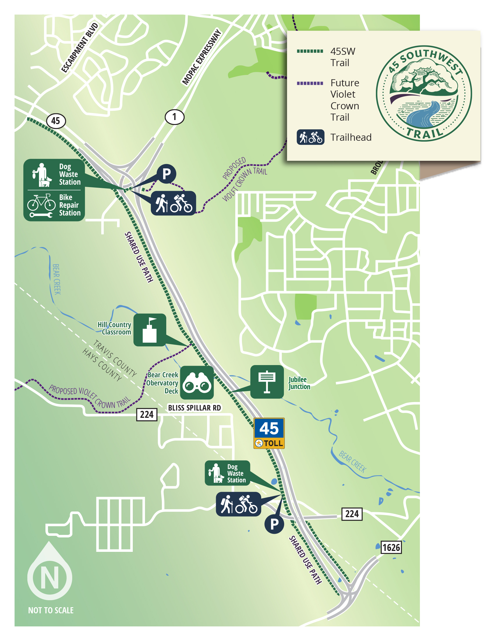
Accessing the Trail
Access to the 45SW Trail is available from the MoPac Trailhead or the Bliss Spillar Trailhead. Trail users do not have to take the 45SW Toll Road to arrive at either of the two trailheads, and parking is available at each location.
The Trail Experience
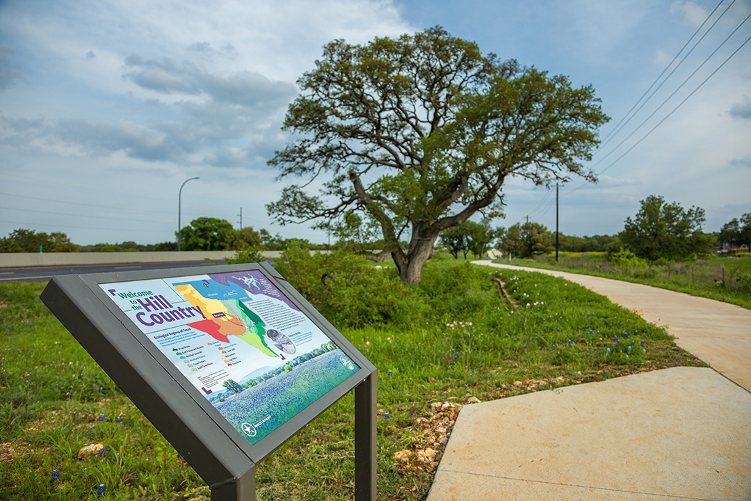
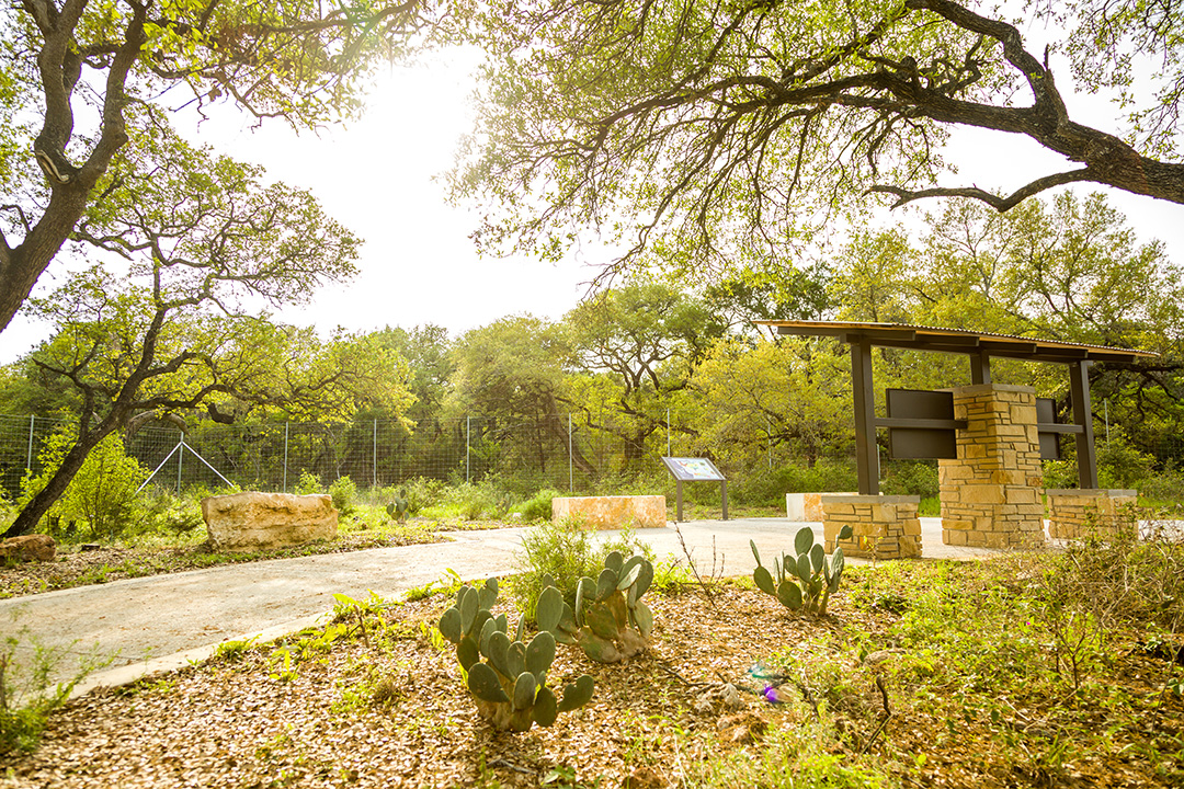
In addition to a beautiful display of springtime wildflowers and an overlook at Bear Creek, you’ll find 14 informative and highly visual interpretive signs along the 4.5-mile trail. Immerse yourself in the rich history and natural wonders of the Hill Country and Edwards Aquifer by stopping to read the signs as you travel.
Trail Explorer by CTRMA
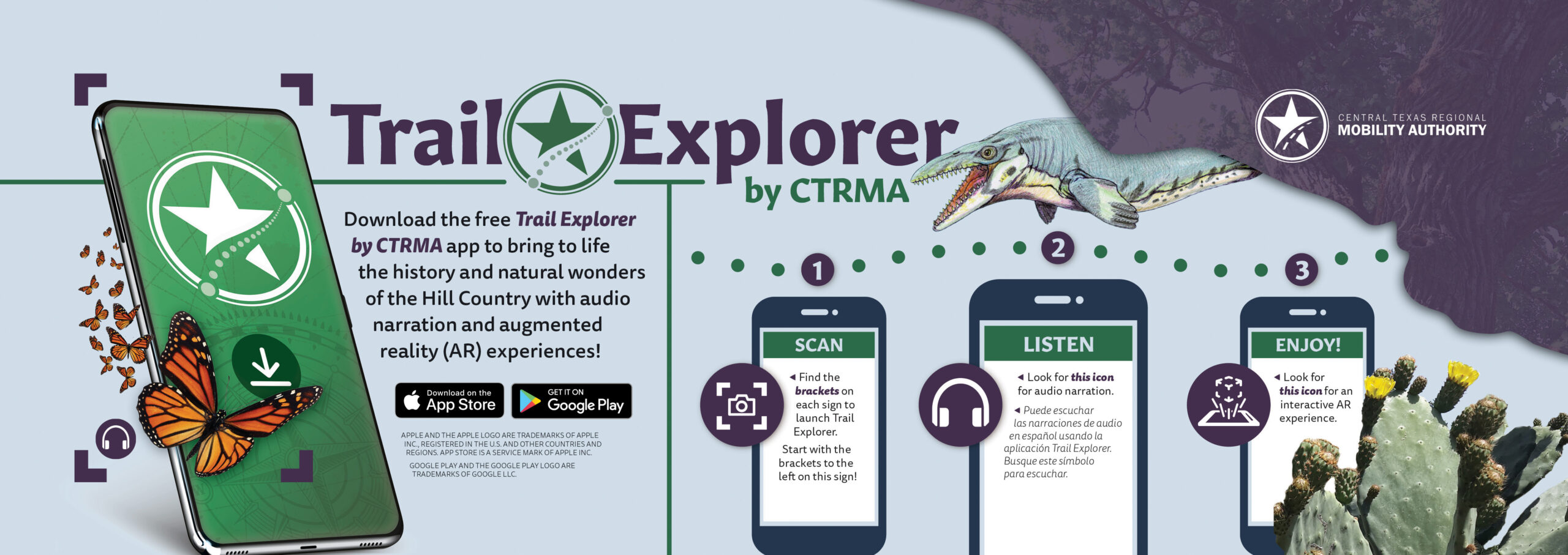
We’ve taken the trail experience a step further with the Trail Explorer by CTRMA mobile app, which enhances the signs by offering narrated experiences in English and Spanish, as well as six augmented reality animations. The app also includes GPS guidance to help users navigate the trail and alert them to upcoming experiences.
The Trail Explorer by CTRMA app is available to download for free in the Android Play Store and Apple iPhone’s app store. Follow the directions in the app and use your phone’s camera to trigger six hidden augmented reality experiences. Users can watch a prehistoric sea creature animate in life-size form right before their eyes, witness the majesty of a towering Live Oak Tree as it grows from the ground up and much more.
Don’t forget to snap a picture with the augmented reality animations to capture and share the journey with your friends and family. Tag @ctxmobility and #CTRMATrails and you may be in for more fun!
Get Inspired
Try the app at home with a few signs from the trail.
Download and print the 45SW Trail Coloring and Activity Book inspired by the trail.
Gallery
-

-
45SW Shared Use Path Interactive Sign -

-
-

-

45SW Shared Use Path Interactive Sign -

-


